Modeling continental erosion and mountaintop mining... in the library
December 12, 2014
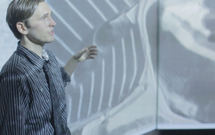
During the fall of 2014, Professor Helena Mitasova and graduate students in her Multidimensional Geospatial Modeling course used the high-resolution, large-scale projection capabilities of the James B. Hunt Jr. Library’s Teaching and Visualization Lab to view their data with GRASS GIS in ways they were unable to before.
Projects ranged from modeling erosion in the Yakima Training Center in Washington State to visualizing the impacts of mountaintop removal coal mining in West Virginia. The lab’s large-scale horizontal projection capabilities (16384 x 1200 pixels) allowed the students to see details in their data that were not apparent on their desktop computer monitors, as well as to view and interpret their data as a full class.

Douglas Shoemaker, graduate student with the Center for Geospatial Analytics, said, “This really shows the capability of the data. There’s so much that we normally can’t see.”
Ryan Thomson, an environmental sociology graduate student studying the impacts of mountaintop removal mining, said, “My data is one-meter resolution, so I can really appreciate this.”

Featured Staff

External Staff
 Helena MitasovaCenter for Geospatial Analytics
Upcoming Events
Jul
26
Undergraduate Research and Creativity Summer Symposium
9:00am to 5:00pmJul
26
SECU Public Fellows Showcase
10:00am to 12:00pmJul
31
A Series of Questions - Trivia Series
12:15pm to 1:00pmAug
7
Paws for a Break
12:00pm to 1:00pm