National Hydrography Dataset (NHD)
From the USGS/EPA NHD website: "The National Hydrography Dataset (NHD) is a comprehensive set of digital spatial data that contains information about surface water features such as lakes, ponds, streams, rivers, springs and wells. Within the NHD, surface water features are combined to form "reaches," which provide the framework for linking water-related data to the NHD surface water drainage network. These linkages enable the analysis and display of these water-related data in upstream and downstream order." NHD is available for most US states and territories.
![]() Please Note: The North Carolina Stream Mapping Program is working to "provide a more accurate, current, and complete mapping [than the NHD] of rivers, streams, and other water bodies in the state." As of late 2008, the watersheds that are available are only in Western NC. See their website for status, data downloads, and full documentation. Future work is pending funding.
Please Note: The North Carolina Stream Mapping Program is working to "provide a more accurate, current, and complete mapping [than the NHD] of rivers, streams, and other water bodies in the state." As of late 2008, the watersheds that are available are only in Western NC. See their website for status, data downloads, and full documentation. Future work is pending funding.
Data Access
NHD data may be obtained online using the interactive viewer and download capabilities from the NHD website. Check for data availibility status before trying to download.
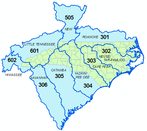
The NHD data extraction website is sometimes down or slow to respond and there's always a processing delay for requests. Therefore, geodatabases of the "high resolution" content for all North Carolina river basins have been downloaded and are available on the Geodata server under /fedgov/usgs/nhd. Click here for ftp access to this folder.
Usage Notes
From the NHD website: "The NHD is based upon the content of USGS Digital Line Graph (DLG) hydrography data integrated with reach-related information from the EPA Reach File Version 3 (RF3). The NHD supersedes DLG and RF3 by incorporating them, not by replacing them. Users of DLG or RF3 will find the National Hydrography Dataset both familiar and greatly expanded and refined."
The High Resolution data generally corresponds to 1:24,000 scale DLGs, while the Medium Resolution corresponds to 1:100,000 DLGs.
Reference documentation, tools, and other resources for NHD data are available at the NHD Website and should be explored.