GIS Week
Monday, November 11, 2019 – Friday, November 15, 2019
12:00am to 12:00am daily
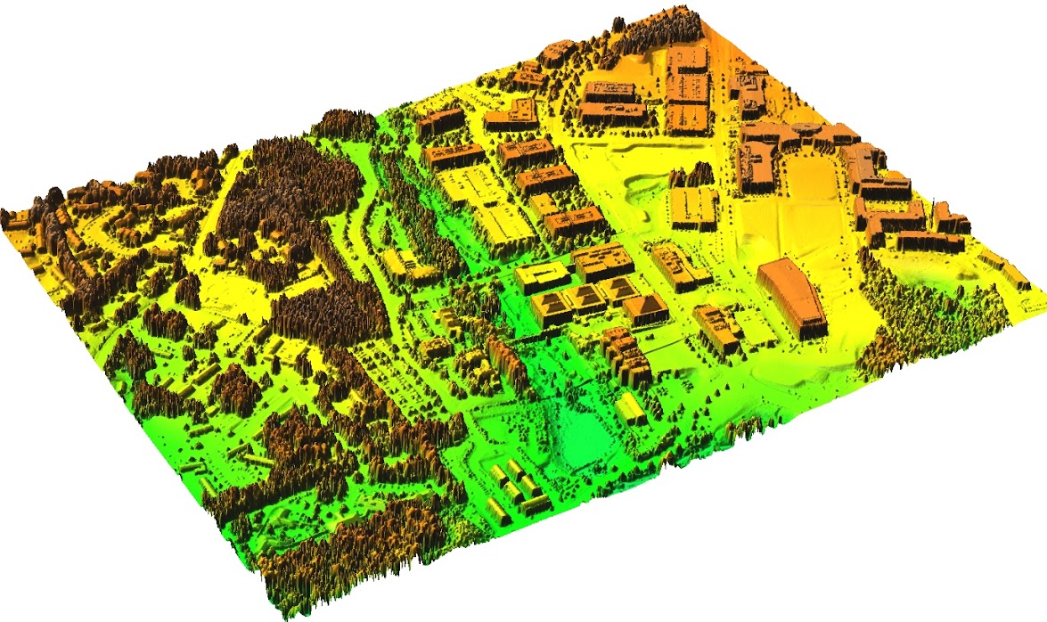
Image credit: Center for Geospatial Analysis
When
Monday, November 11, 2019 – Friday, November 15, 201912:00am to 12:00am daily
Where
East Learning Lab B 2113, Hill LibraryJay Lawrence and Ella Apple Technology Showcase, Hunt Library
The Landing, Hunt Library
Teaching and Visualization Lab, Hunt Library
About This Event
Worldwide GIS Day is on November 13, and NC State University Libraries is celebrating with events throughout the week at both Hill and Hunt Libraries! Geographic Information Systems (GIS) software and spatial analysis are used in industries from forestry to banking, and in almost every academic discipline. Join us to learn more about GIS and how these technologies are helping to advance research and facilities on NC State's campus.
Tuesday, November 12:
Mapping in Tableau - Create maps in Tableau and learn best practices for geospatial visualization.
Wednesday, November 13 (GIS Day!):
GIS Day Open House - Visit tables from partners including Facilities, Transportation, Geology program at the Department of Marine, Earth, and Atmospheric Sciences, and more to learn about GIS on campus!
From the Top of the Atmosphere to the Bottom of the Ocean - See a visualization demo from NC State's Ocean Observation and Modeling Group and hear from researcher Dr. Joseph B. Zambon about their process.
Humanitarian Mapathon - Join a crowd-sourced effort to provide maps that assist in disaster preparedness and humanitarian relief. No experience needed!
Triangle GISocial - Network with geospatial students and professionals in the Triangle from 6-8pm at the City of Raleigh Museum. Hosted by NC State's Center for Geospatial Analytics. Please RSVP.
Thursday, November 14:
Geospatial Forum - Hear from Matthew Dusch and Harrison Webb, Enterprise Support and WebGIS Analysis with Esri Charlotte, who will present "Deploying Enterprise GIS Solutions in the Cloud." Hosted by NC State's Center for Geospatial Analytics.
Friday, November 15:
Coffee & Viz - Part of our ongoing event series, this month Frederico Freitas, Assistant Professor of History, and Todd Berreth, Assistant Professor of Art + Design, present "Urban Panorama: t-SNE Street Feature Mapping Tool."
Contact Information
Accessibility
If you require a disability-related accommodation to participate in this event, please contact Marian Fragola at marian_fragola@ncsu.edu or 919-513-3481 to arrange services. Early requests are strongly encouraged to allow sufficient time to meet your access needs.